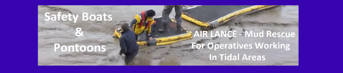
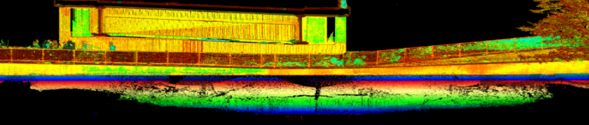
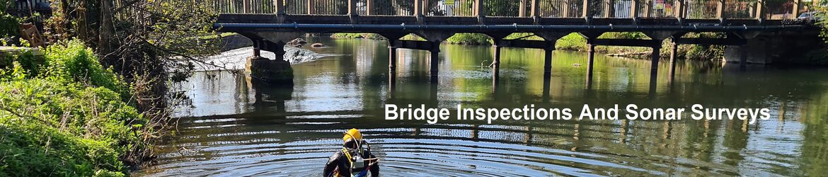
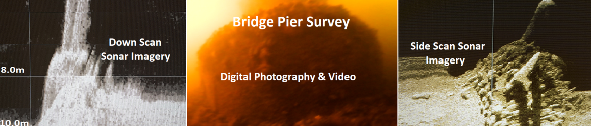
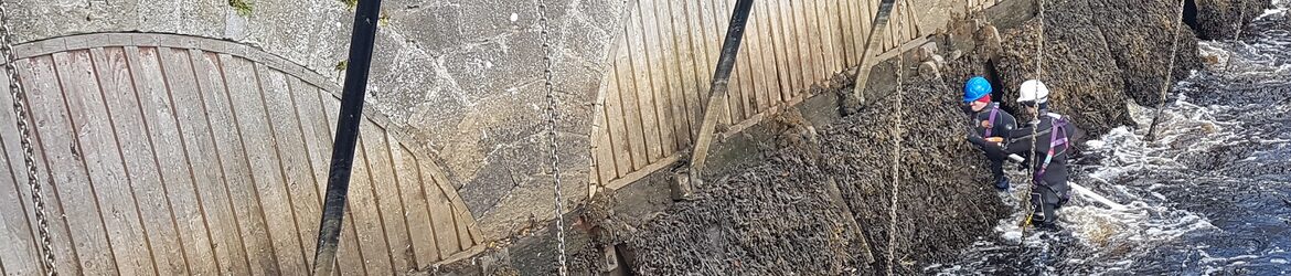
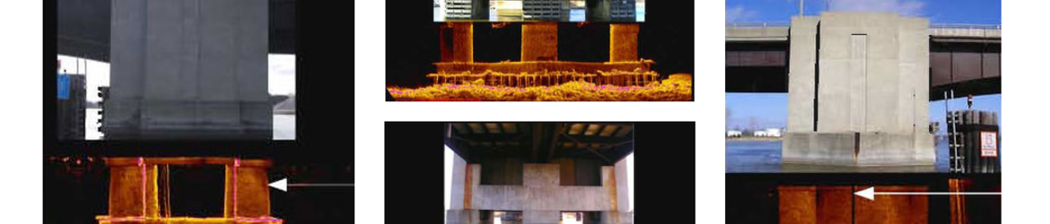
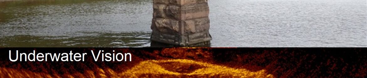
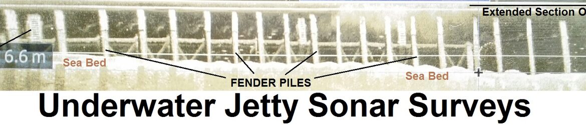
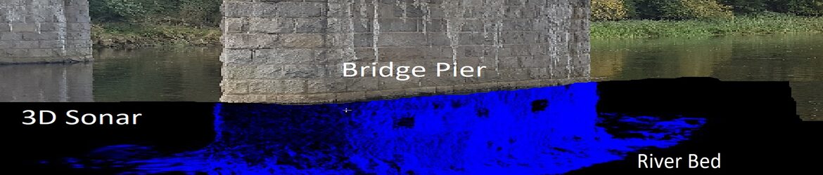
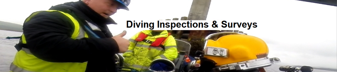
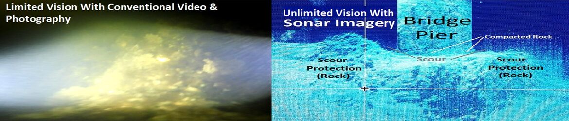
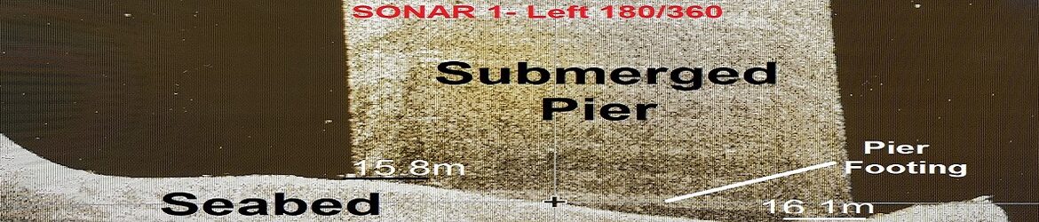
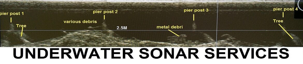
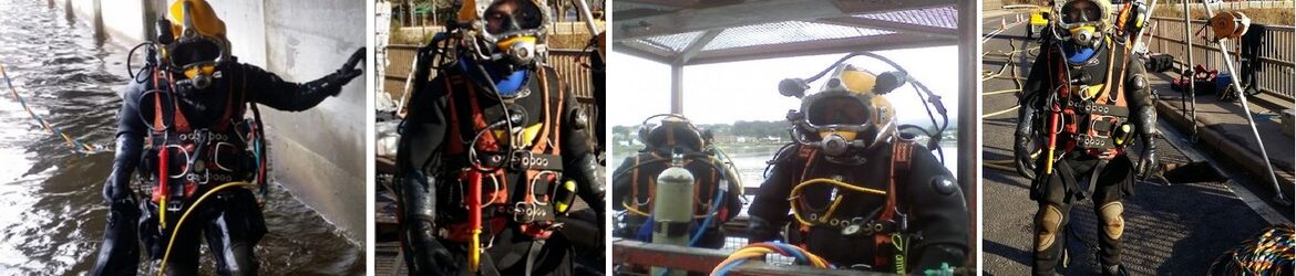
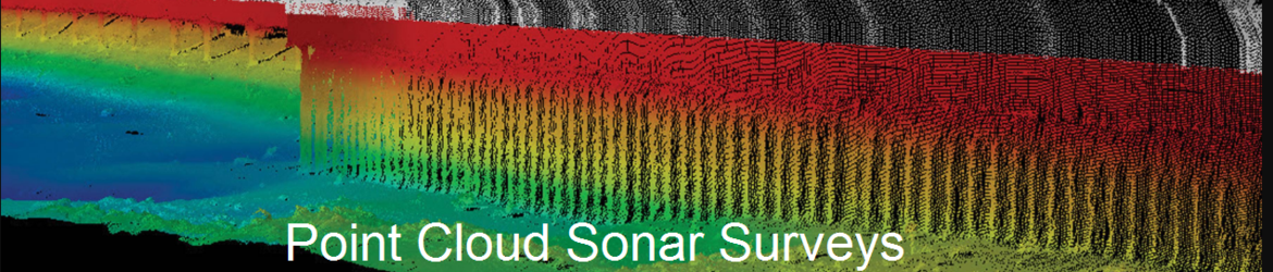
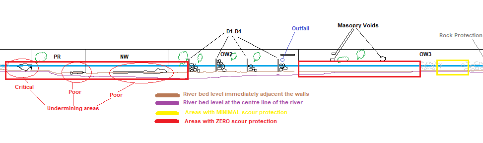
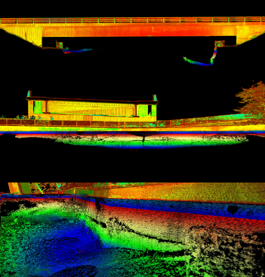
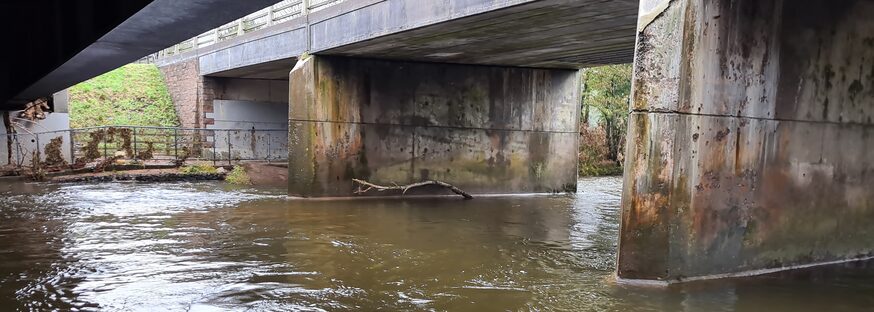
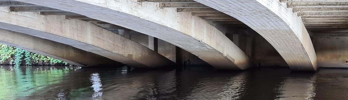
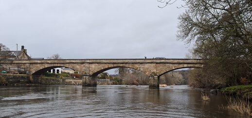
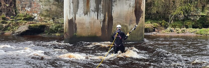
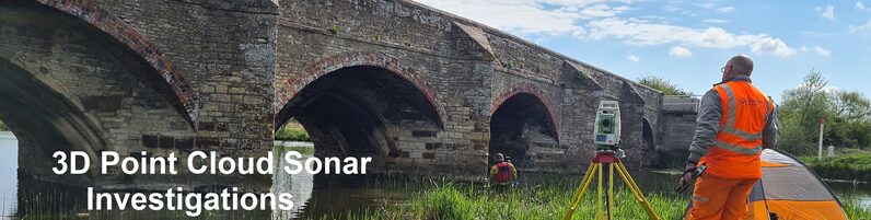
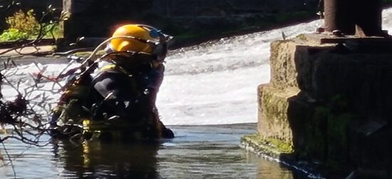
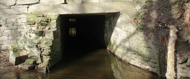
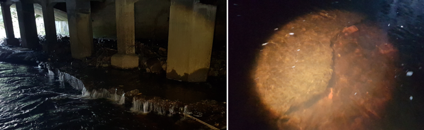
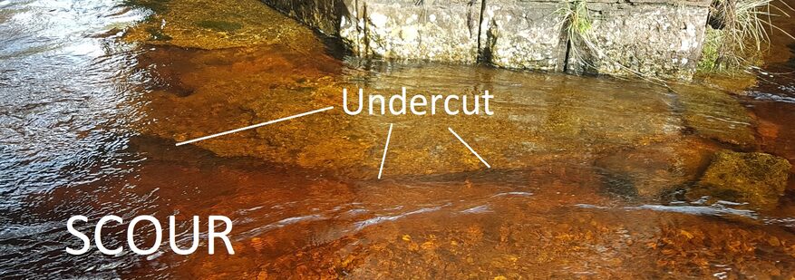
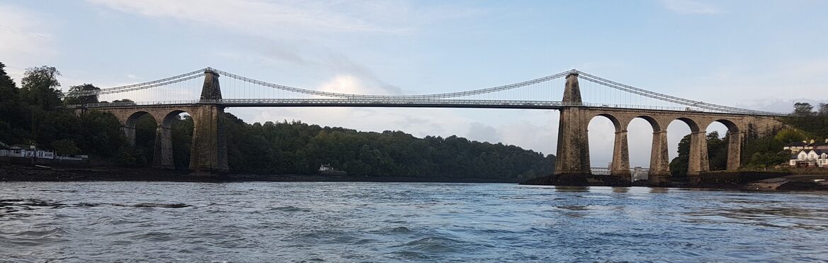
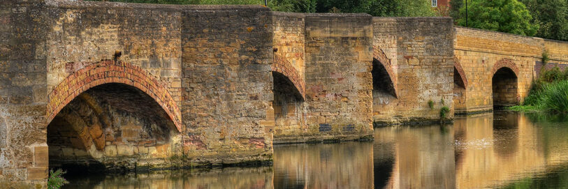
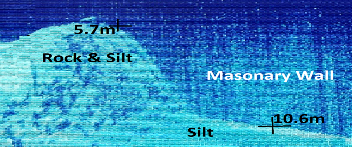
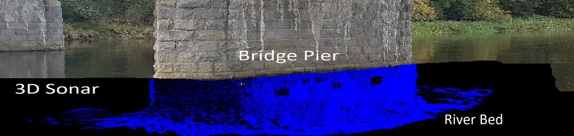
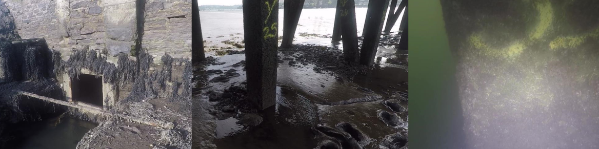
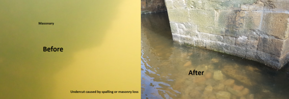
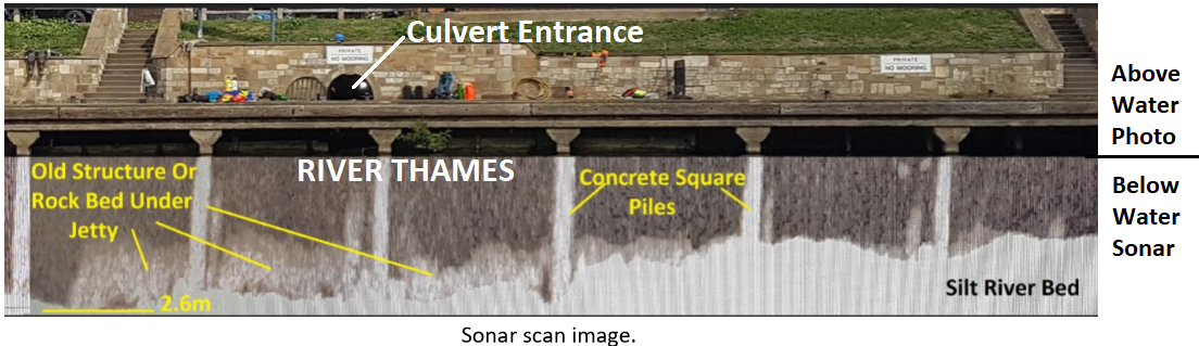
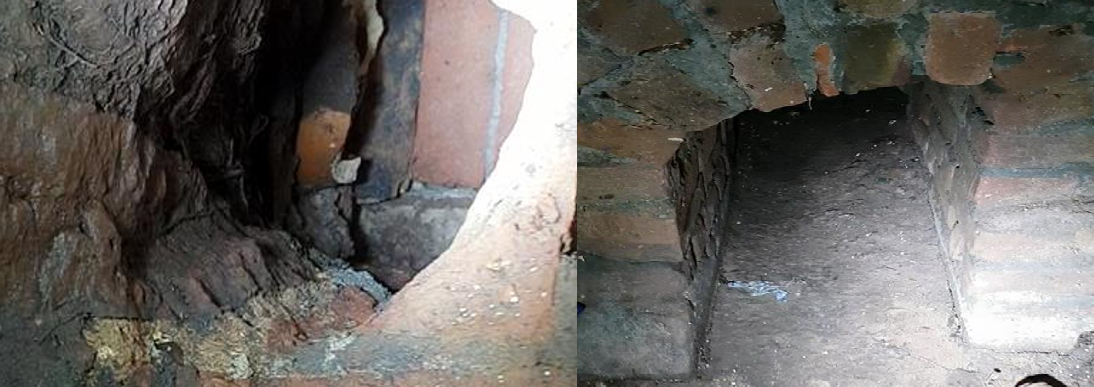
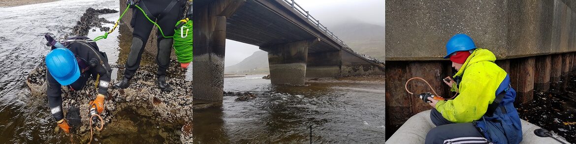
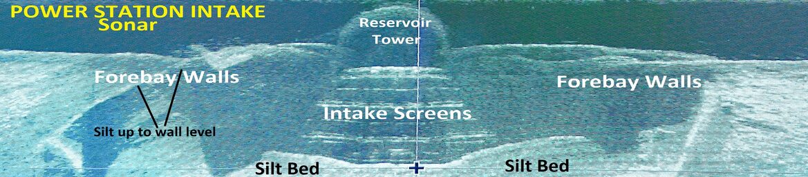
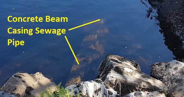
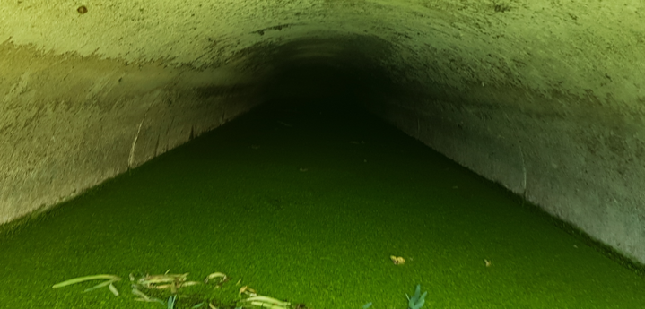
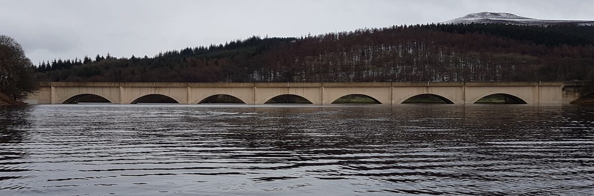
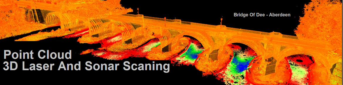
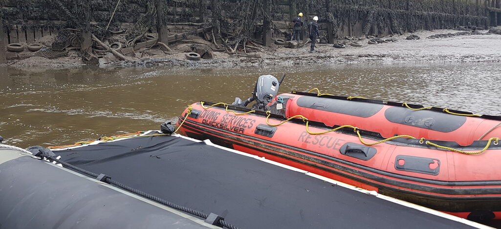
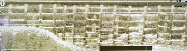
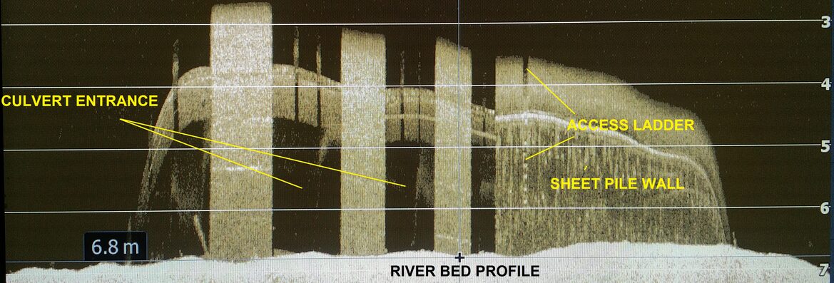
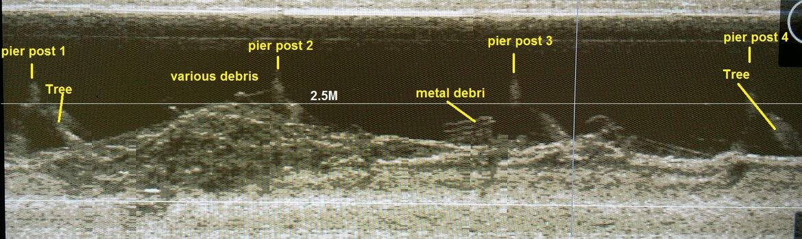
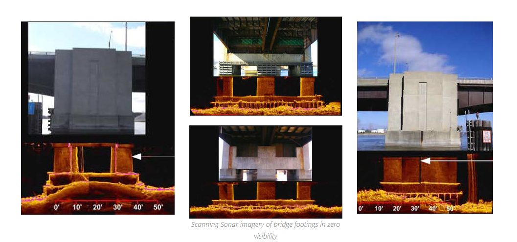
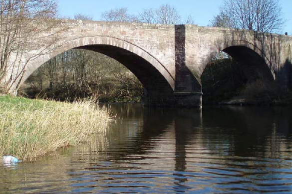
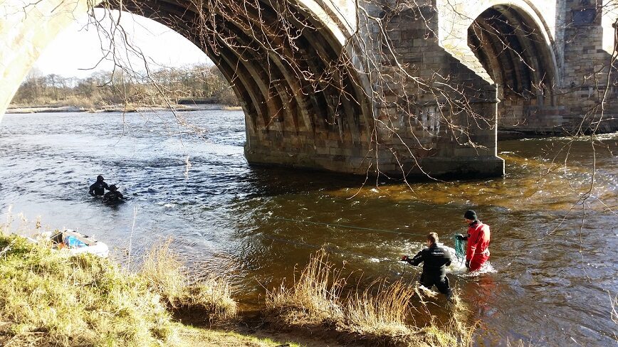
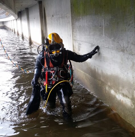
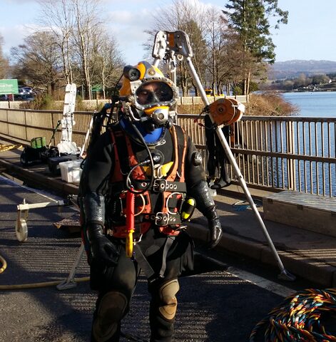
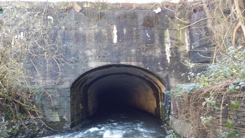
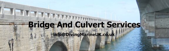
Sonar is quickly becoming the tool of choice for aiding the underwater inspection of bridge structures. They have the ability to create detailed high resolution images around bridge footings, piers, cut water's and abutments including other areas such as sea walls, dams, river walls, ports and harbors. Sonar inspections provide valuable information on underwater submerged bridge structures which may include details of damaged components, water depths and structural measurements including undercut and scour measurements. They are ideal for creating detailed scour surveys in difficult water conditions. Underwater subsea assets and infrastructures worldwide need to be surveyed regularly for problems caused by conditions including undercut, scour, impact and or structural damage. Corrosion, debris and other causes can also cause major problems needing regular inspection. Diving surveyors and inspection engineers will provide visual surveys when water conditions are clear allowing easy working. When conditions worsen and visibility becomes impaired due to murky water a more tactile hands on survey is usually required. These underwater environments can present many hazards to working divers and fortunately todays technology gives the option to reduce risk with the aid of modern sonar devices. The detail and accuracy of these sonar devices can create safe working environments for divers prior to water entry by simply understanding what the area looks like prior to getting wet. These sonar systems provide high accuracy 2D and 3D sonar scans of underwater structure and provide environmental data in zero visibility water conditions.
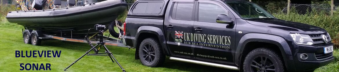
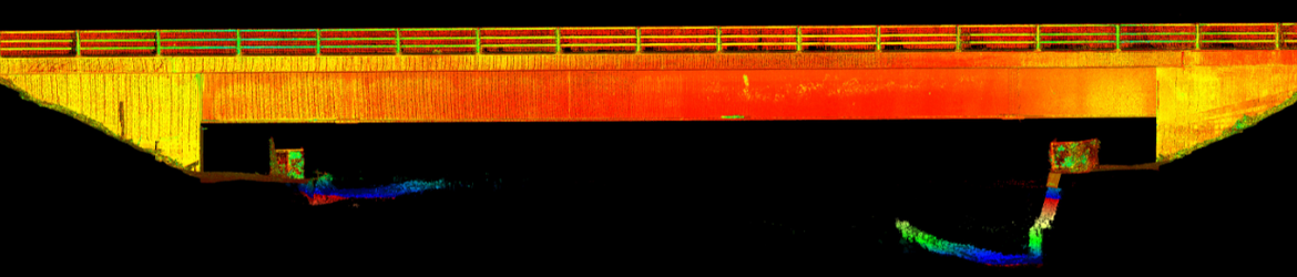
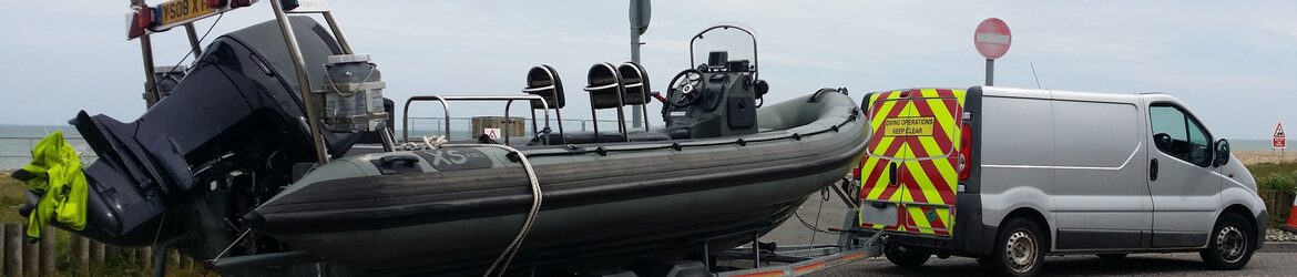
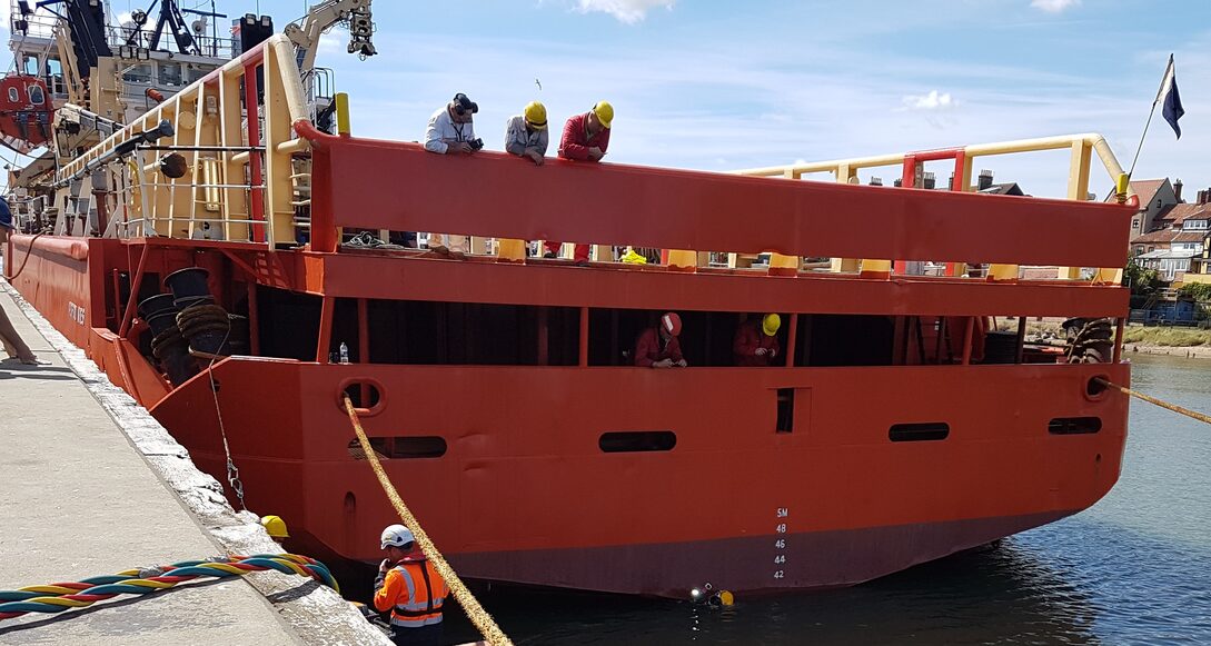
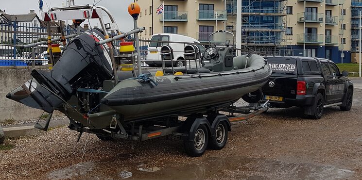
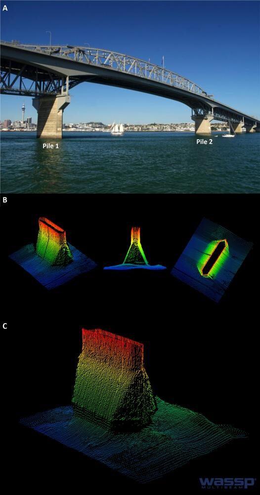
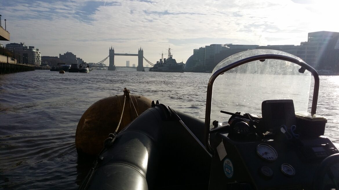
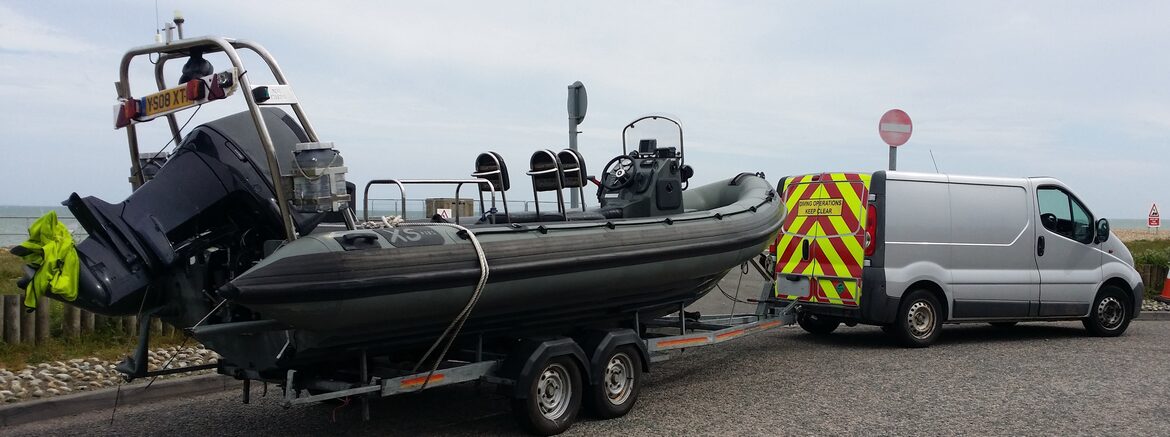
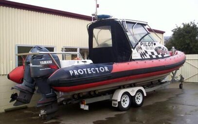
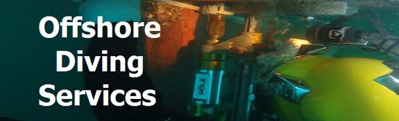
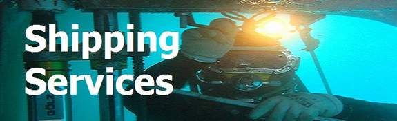
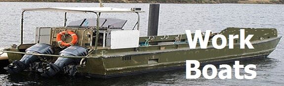
Our sonar surveys provide high resolution detailed images and video in any water conditions. The sonar services we offer include simple 2D data imagery and live video imagery through to more complex 3D point cloud data. Our sonar transducers can be attached to or deployed from small work vessels, attached to poles, tripods and,ROVs. Each sonar whatever the deployment method can be used for principle and general inspections, environmental and structural evaluations and real time underwater works monitoring.